


Release 3.5
Transparently reads in all sensor data including Incident Light Sensor Data
2D flight trajectory overlaid on satellite imagery
Individual image analysis (RGB, NIR, RNDVI) with geo-location
Add GPS markers, distance measurements, & export
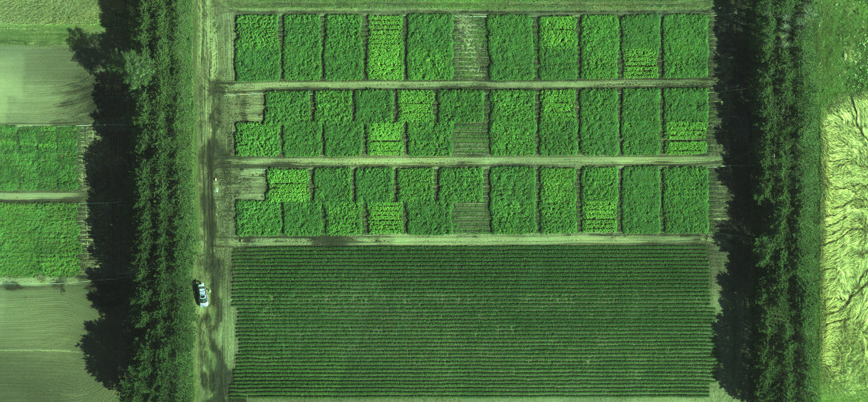
Generate 2D orthomosaics
-Quick preview RGB & NIR mosaics (1-3 mins after flight)
-Fine Alignment (RGB, NIR, RNDVI)
Add GPS markers, distance measurements to mosaiced data layers & export stored data
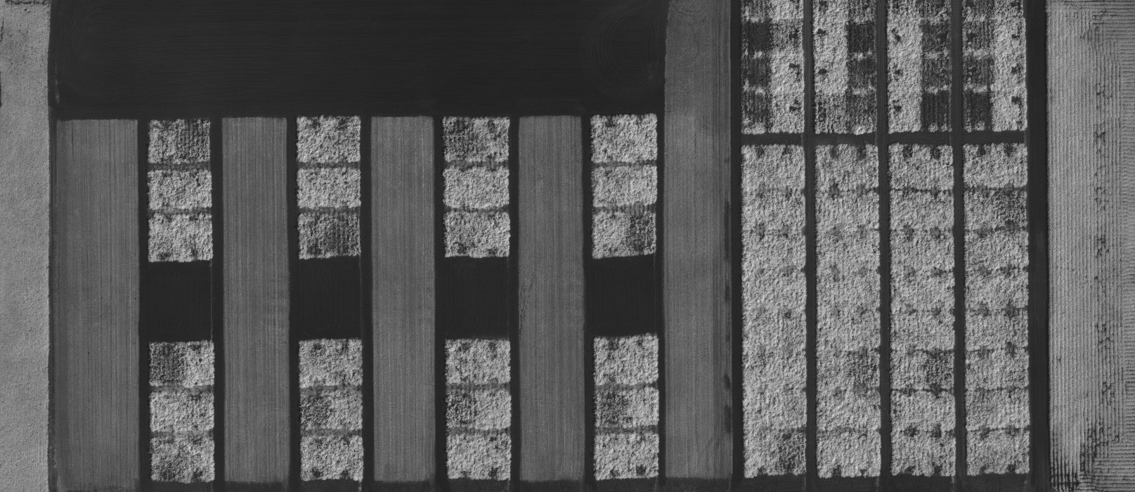
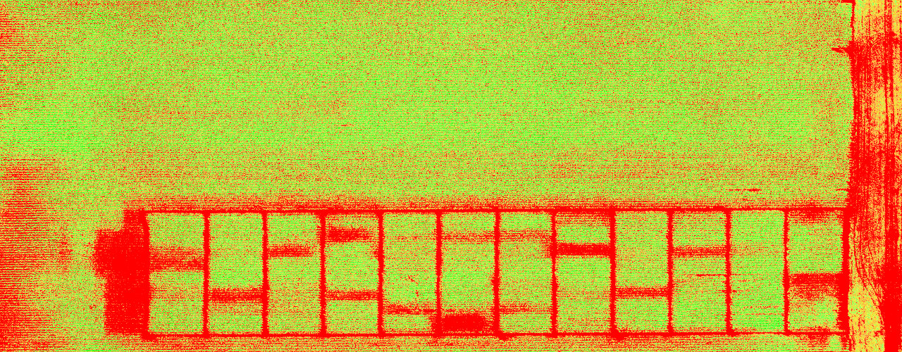
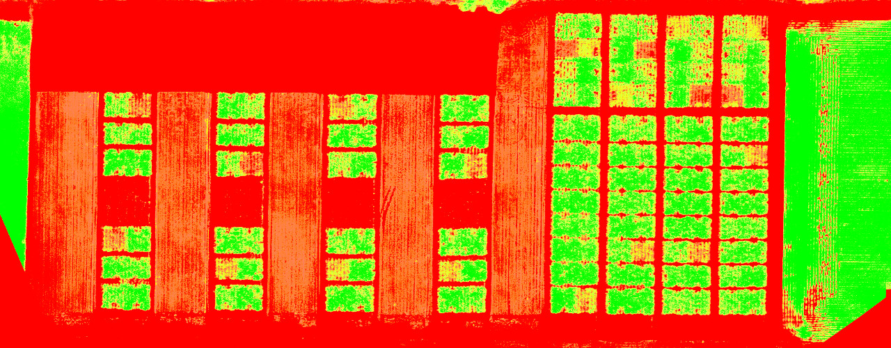
Calculate areas using area statistics tool with Relative & Absolute NDVI computations
Quickly generate custom colormaps and save colormaps for use across multiple flights
Boundary clipping available on all data layers and export to geo-tiff
Export to geo-tiffs, Shapefiles,SMS, CSV, and several 3rd party supported tools
Release 4.0 New Features
Generates point cloud for 2D mosaics and outputs .ply file
Generates elevation map
Vegetation Index Calculator
-Allows for user to compute generic vegetation indices on image level and mosaic level
-Exports generic vegetation indices as geo-tiffs
Software & Package Pricing
GEMS Processing Software
$2,000 USDone time cost
- Already own a GEMS sensor add a software license anytime.
GEMS 35 Sensor & Processing Software
$5,500 USDone time cost
- Package deal
- Lifetime license of processing software
- Includes engineering tech support & annual updates
GEMS 60 Sensor & Processing Software
$5,742 USDone time cost
- Package deal
- Lifetime license of processing software
- Includes engineering tech support & annual updates
*Prices above do not include taxes & shipping.